- THE HARD ROAD TO WAR
7)CLOUDS OF WAR
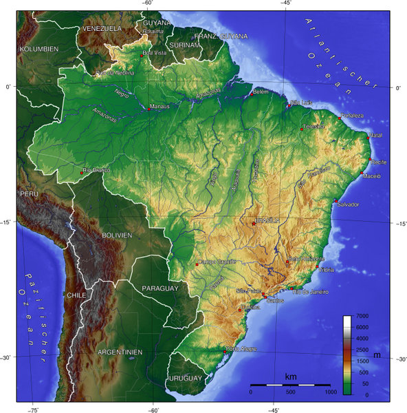
Brazilian territory with roughly 3.5 millions of square miles is larger than U.S. conterminous area with 4 thousand mile coastline, larger than all Europe except Soviet Russia. In 1941 its population numbered 45 million people and was predominantly concentrated in the states of São Paulo, Rio and Minas Gerais. The huge Amazon region covered one third of the country. That’s why Brazil was called “The sleeping giant.” In the first years of war, Brazil was a country far from being an industrialized one, a territory with continental dimensions with a predominant agrarian economy, with scarce infra structure of ports, airfields, an almost non existent railway network and very poor highway system.
In terms of communications things were worse and large portion of its population lived absolutely isolated in vast areas of the hinterland. Progress, to say the least, was concentrated in southern region. To make things worst, the northeast, geographically isolated from the capital, Rio de Janeiro, in the south, was not linked by road. The railway network was limited to those states of center and southern regions. The only way to reach cities like Recife, Natal, and Fortaleza, was through the yet incipient airways system or exclusively by sea.
Brazilian "Continent" 8,511,965 square kilometers. In the 40's half of its territory was uninhabited and covered by dense forest like Amazon region.

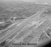
The picture shows one Junkers JU-52 moored at its pier at Santos Dumont Airport Rio de Janeiro. German Condor Syndikat was the main commercial liner in Brazil until its closing.
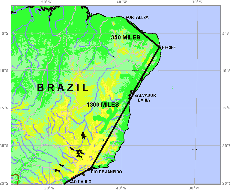
The map above shows how far was Rio de Janeiro, the Brazilian capital from other important cities like Recife and Fortaleza. Brazilian Airways System in pre war years was highly dependant on German and Italian expertise, including pilots. Brazilian Air Force, FAB, was created only late in 1941. Army Air force was still an embryo and counted with few pilots and one handful of obsolete aircrafts. All organizational structure of the Forces was based on the French system. In this same cauldron was the Brazilian Navy with a few vessels including two battleships from WW I. Burning coal, belching smoke and unable to fight a modern Anti submarine warfare.
With the defeat of France, Germany gained access to several ports in Bay of Biscay. American authorities were alarmed with the European situation, with Britain alone and in the verge of a defeat. The US began taking in earnest a German menace against western hemisphere. Apprehensions in Washington aroused when American officials sent disquieting reports mentioning the possibility of a pro Nazi coup in Argentina which could spread tensions and lead to similar attempts by the large German colony which lived in Southern Brazil and Uruguay.
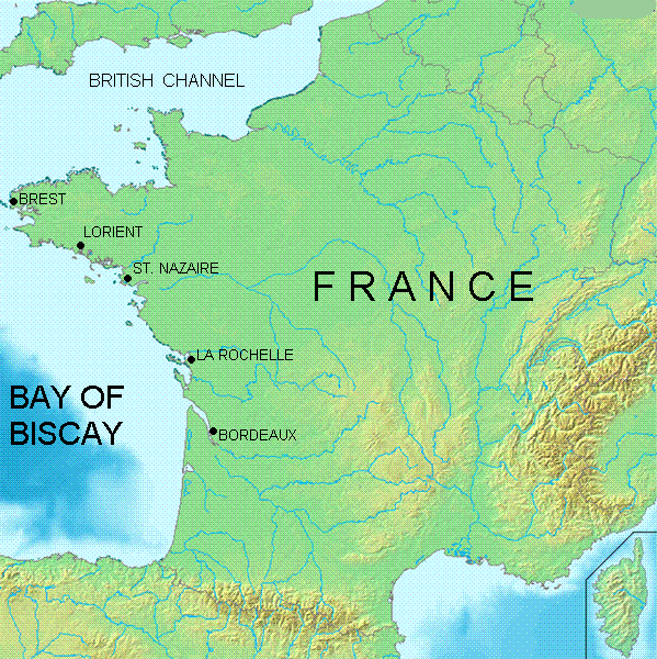
The map depicts the newly Atlantic bases seized by Germany with the fall of France.
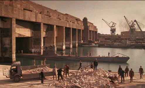
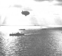
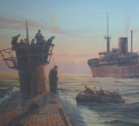
Submarine pen seen at French port of St. Nazaire. Germans had a fully open gate to reach the Atlantic.
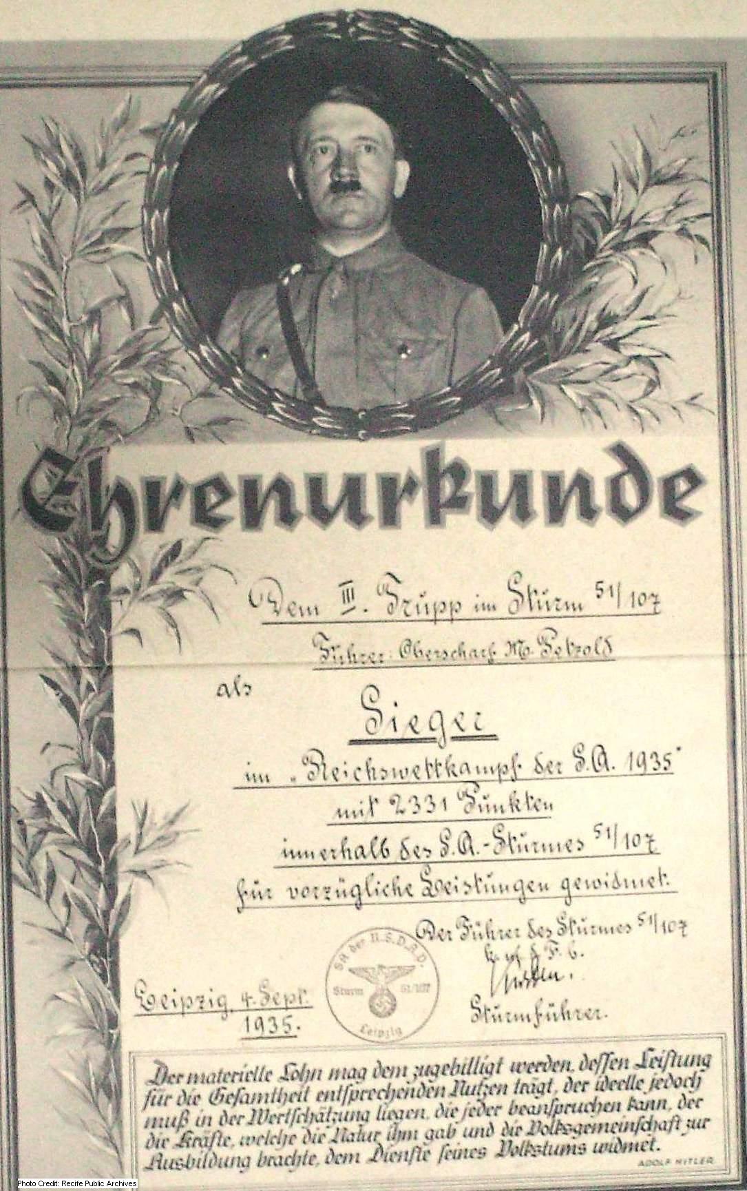
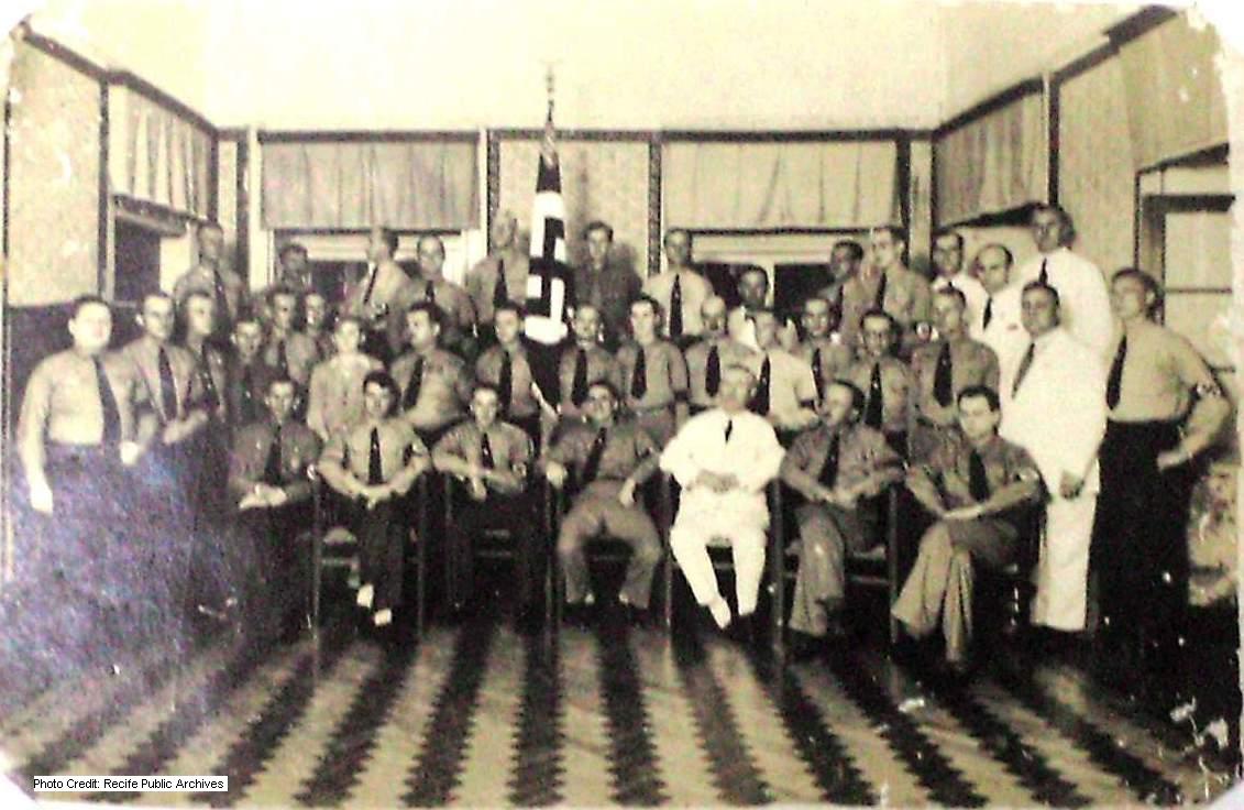

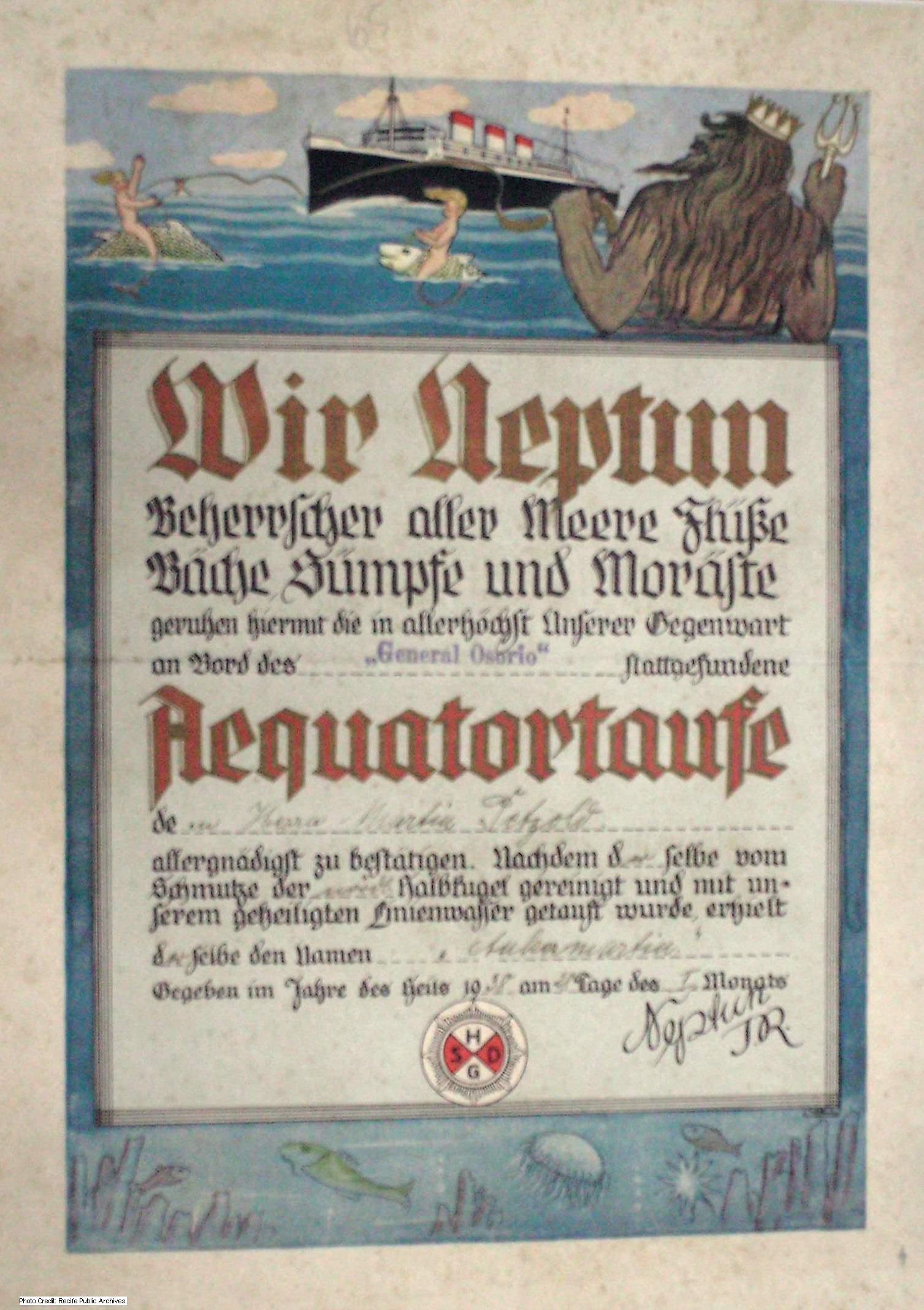
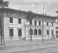
These pictures seized by Brazilian authorities during the crackdown on Nazi organizations in various parts of the country, show how these movements operated. Brazilian Government acted swiftly and decisively in the regions where German colony was active and numerous. Several measures and decrees were put into effect including the one that determined that all German children would attend to schools were Portuguese language was taught. A well organized spy net that acted in the country gradually subsided with the arrest of all their agents.
(Pictures provided by Recife Public Archives)